
Close-up of 1867 Beer's Atlas map for Brewsters' NY
Entire map can be viewed here under Southeast and Brewsters':
http://www.hyzercreek.com/1866Maps.htm

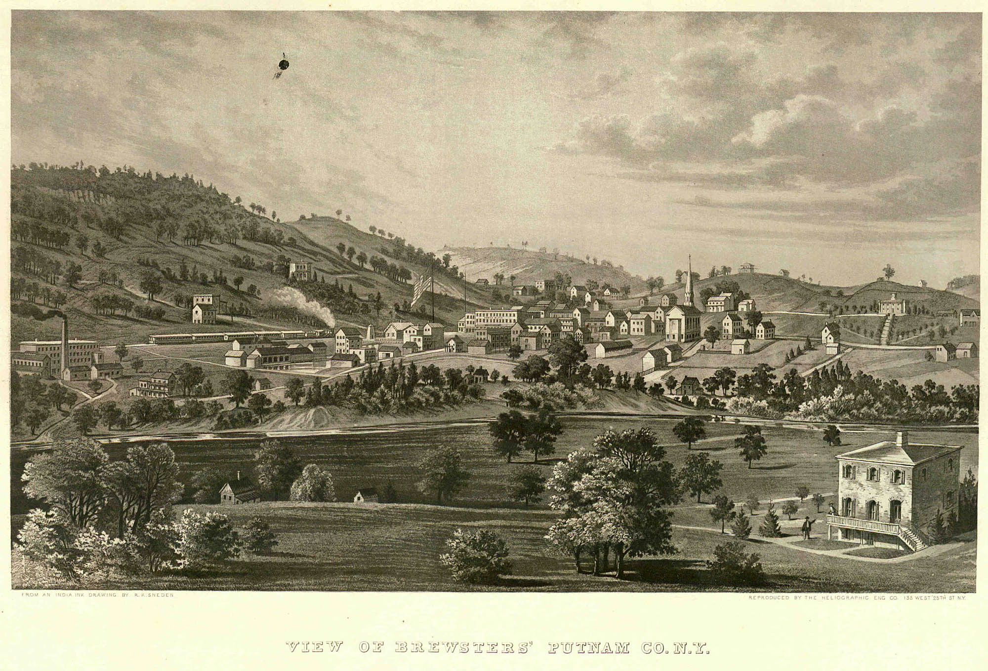
IIllustration of Brewsters' from Beers Atlas 1867
Enlargement of illustration courtesy of the Westchester County Archives
http://www.westchesterarchives.com/CW/i ... resize.jpg

panoramic photo of Brewster ca 1870 ~by Louis Alman
(Available at the Southeast Museum)
I apologize for the resolution, but I pilfered this from the web. Maybe you can download and enlarge? In the photo you can see what appears to be a large roadway (going from L to R) into a dark area. This is roughly where the mine is located in the above-posted Beers map. I don't know if this is an entrance to the mine? This would be more in the location of the Southeast House around Progress Street.

Photo from Illustrated American -1893
I'm not sure if this is an adit. The Bank is above - I think I had read somewhere that before it was the bank, it was also the offices of Cheever & Durant - It might very well be drainage... I'm going to go back and read the article which was written on the Croton watershed.*
I hope this info helps - I'll keep looking for more.
* I went back and read the article -Mostly photographs with no mention of Brewster at all.


